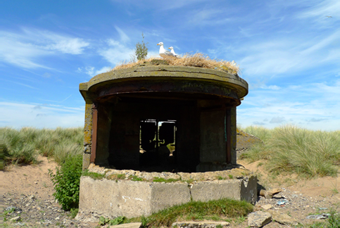
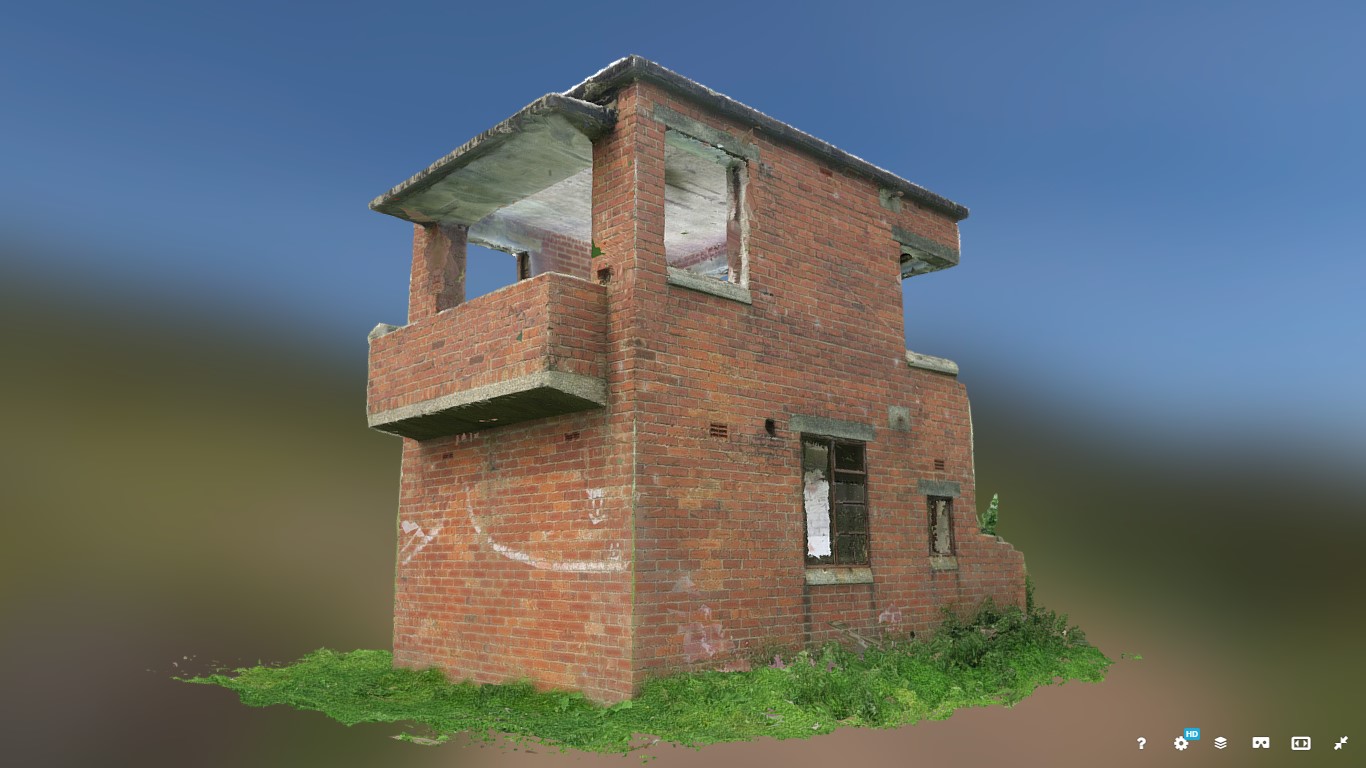
Recording the Bay's Military heritage


We are delivering this training project for volunteers to gain skills in archaeological recording and understanding miliary structures and landscapes. This will enable the military landscape of Morecambe Bay to be investigated and recorded.
Two areas provide the main focus of this project;
- Walney Island
- Cockerham Sands.
This project will supplement information gathered by Heritage consultants Purcell, as part of the production of Conservation Statements for some of the military sites on Walney Island and at Cockerham Sands, in addition to documentary research being undertaken by our volunteers – for see here for more information.
We are working with Manchester Metropolitan University History section to provide training sessions in geophysics.
Why are we doing this?
We want our community participants to acquire the necessary skills and knowledge required to investigate and record military landscapes of Morecambe Bay;
So that the military landscape of Morecambe Bay is better understood and recorded;
So that records of the Bay’s military landscape are enhanced and results are shared.
What will we deliver?
- Training sessions/workshops open to volunteers, delivering skills in investigation and recording of military sites/landscapes (including documentary records);
- Training guide and resources which will be made available online for everyone to use and put their skills to the test on other areas;
- A project report on our findings
- Creation of records for accession to the local Historic Environment Record and Archaeological Data Service (ADS).


No Comments
Add a comment about this page